
Events
Site M: Redacted - Men's Open
74 spots left. Registration ends October 2, 2026 at 11:59am CDT
Site M: Redacted - Men's 50+
74 spots left. Registration ends October 2, 2026 at 11:59am CDT
Site M: Redacted - Women's Open
74 spots left. Registration ends October 2, 2026 at 11:59am CDT
Site M: Redacted - Women's 50+
74 spots left. Registration ends October 2, 2026 at 11:59am CDT
Site M: Redacted - Non-Competitive Short Route
74 spots left. Registration ends October 2, 2026 at 8:00am CDT
Place
Chandlerville, IL US 62627
Description
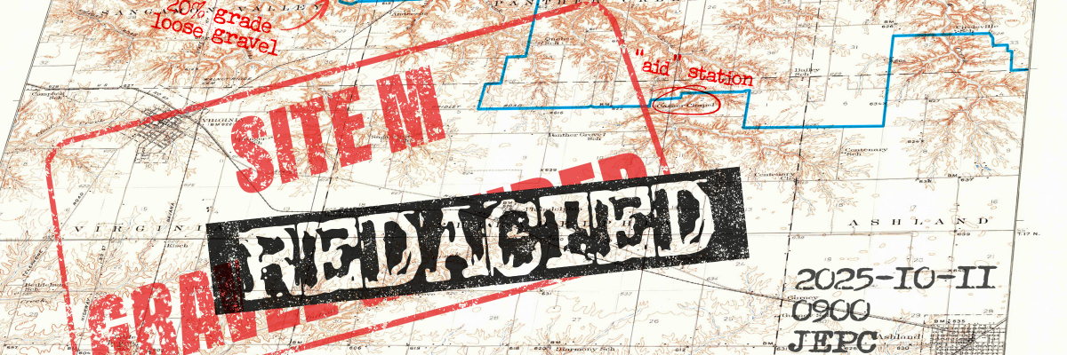
Site M: Redacted is the Springfield area's first foray into a proper gravel race. Hosted at the Jim Edgar Panther Creek state conservation area, we have a beautiful route for you spanning rolling meadows, farmland, and forest preserves. The route is still being finalized, but expect approximately 55 miles of something near a 50/50 pavement/gravel mix and around 2200 feet of elevation. The longest climbs will be on pavement, with 1/2-3/4 mile stretches of 4-6% average gradient. On the gravel side, there are a number of short, steep, punchy climbs. Most of these are under 1/4 mile, but many hit double digit grades and some even approach 20%. You can expect to see the entire range of not-so-paved roads with everything from fast white limestone to deep chunky gravel to grass trails and B roads. We will be providing SAG support, refreshments at the staging area, an aid station at mile 30 with the option for drop-bags, and a post-ride meal to participants who register by September 30. Route marking is TBD, depending on regulations within the conservation area. This is a rain or shine event, and will only be cancelled in event of extreme weather (e.g., tornadoes, flash floods).
A prize purse will be split between podium of all four categories--50% of the total purse split between our first place finishers, 30% to second places, 20% to third places. We're guaranteeing a minimum reward structure of $150/$90/$60 payout on each podium, and that value will increase based on sponsorships and registration. We're not looking to make any money here, any sponsorships and registration fees above our costs go directly to prize support.
This event is sharing a date and venue with the Illinois Senior Games, allowing us to make the most of our logistics for both events.
Routes - https://ridewithgps.com/collections/5466973
Results - https://track.rtrt.me/e/SZR-SITEMREDACTEDILSENIORGAMES-2025
About Site M:
Acquired by the state of Illinois in 1993, Site M is a 16,550 acre state fish and wildlife area. Renamed to Jim Edgar Panther Creek in 2003, the area is a premier landscape for a bicycle race with beautiful vistas, valleys, hills, well-maintained pavement, and pristine ribbons of gravel.
Ride Contact Info
If you have any questions about this ride, click the button below.
Location
There's no street address for our start point, but there's a Google Maps pin below. Follow signage for the MTB trailhead/boat ramp and you'll find our pavilion. Pit toilets and water spigot are available here, with fully plumbed facilities just down the road at the campground.
https://maps.app.goo.gl/W5pa7ogPRYeQCAoV9
Parking:
There is parking for ~50 cars at the pavilion and around the cul-de sac, but we'd like to keep that reserved for Senior Games participants. If you have mobility needs, by all means use the close parking. There is ample parking in the boat ramp area, just a minute's bike ride away.
