
Course Maps
Course distances are close to traditional race distances, but may not measure exactly.
Race distances are approximate and may vary half a mile depending on actual trail availability on race day.
Courses are subject to change based on safety and trail conditions.
Due to the trail nature of this event, there are limited toilets available on course. Please use the restrooms before your start.
25K (15.5-ish Miles)
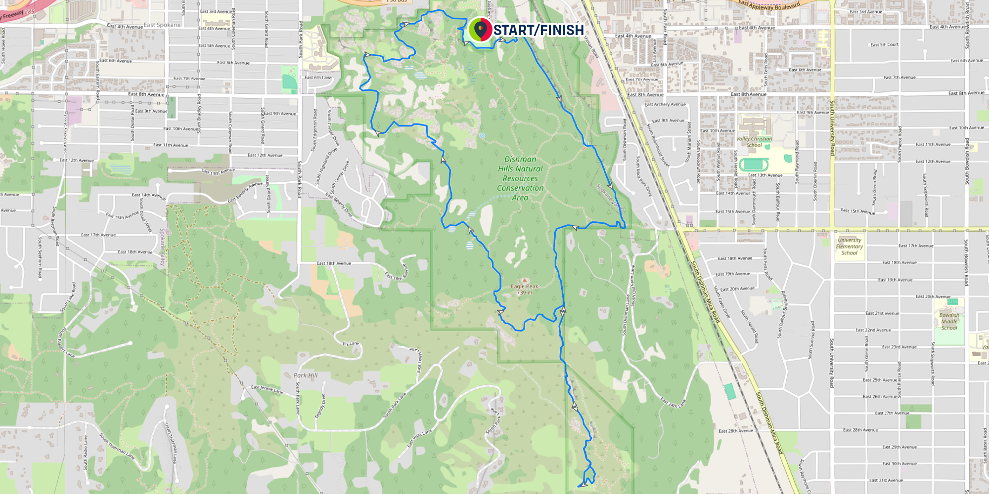
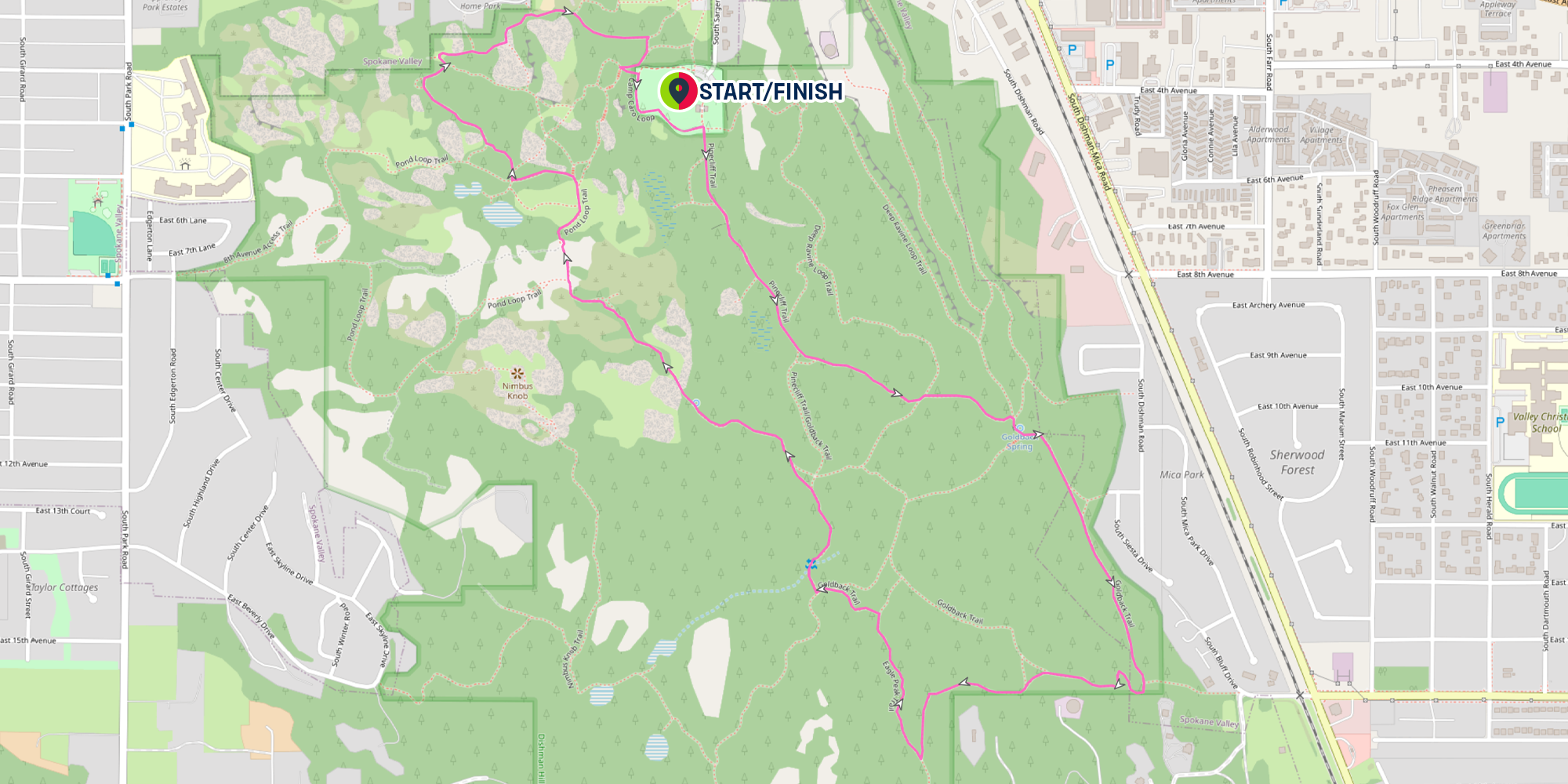
Runners will run the blue loop (6.2 miles) clockwise twice. Once they have completed the blue loop twice, they will complete the pink loop (3.1) clockwise once. This passes runners by the Race Village Aid Station twice.
Using the link above, more course details (Mile Markers, Aid Stations, Etc.) can be turned on/off using the DISPLAY toggle on the top right of the map. The Elevation Profile and downloadable routes can be found also using the above link.
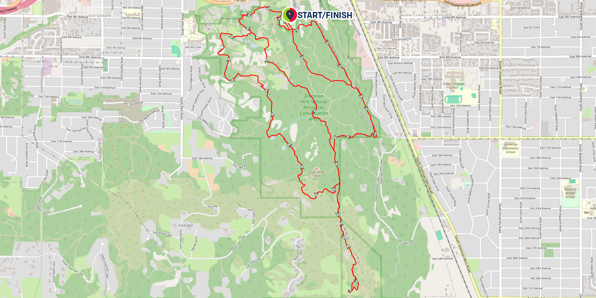
10K (6.2-ish Miles)
Using the link above, more course details (Mile Markers, Aid Stations, Etc.) can be turned on/off using the DISPLAY toggle on the top right of the map. The Elevation Profile and downloadable routes can be found also using the above link.
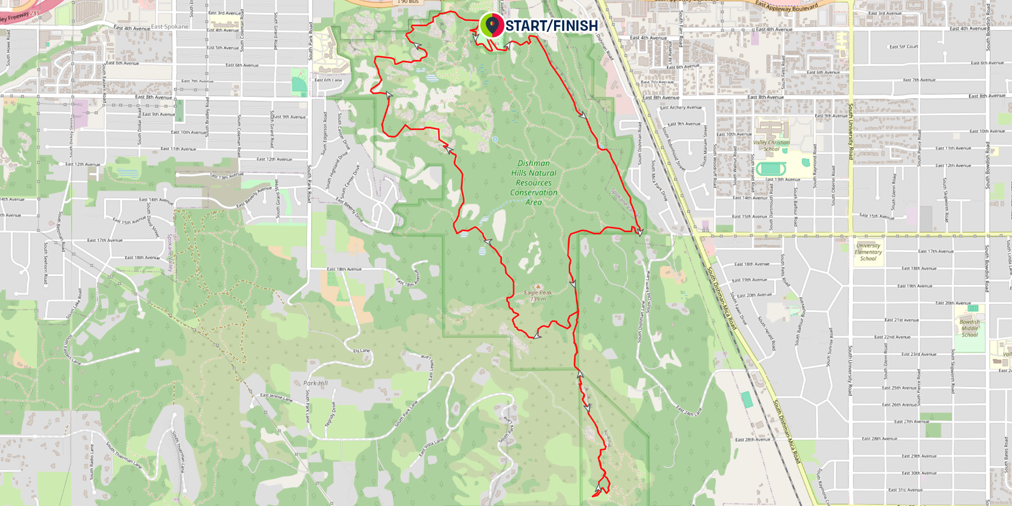
5K (3.1-ish Miles)
Using the link above, more course details (Mile Markers, Aid Stations, Etc.) can be turned on/off using the DISPLAY toggle on the top right of the map. The Elevation Profile and downloadable routes can be found also using the above link.
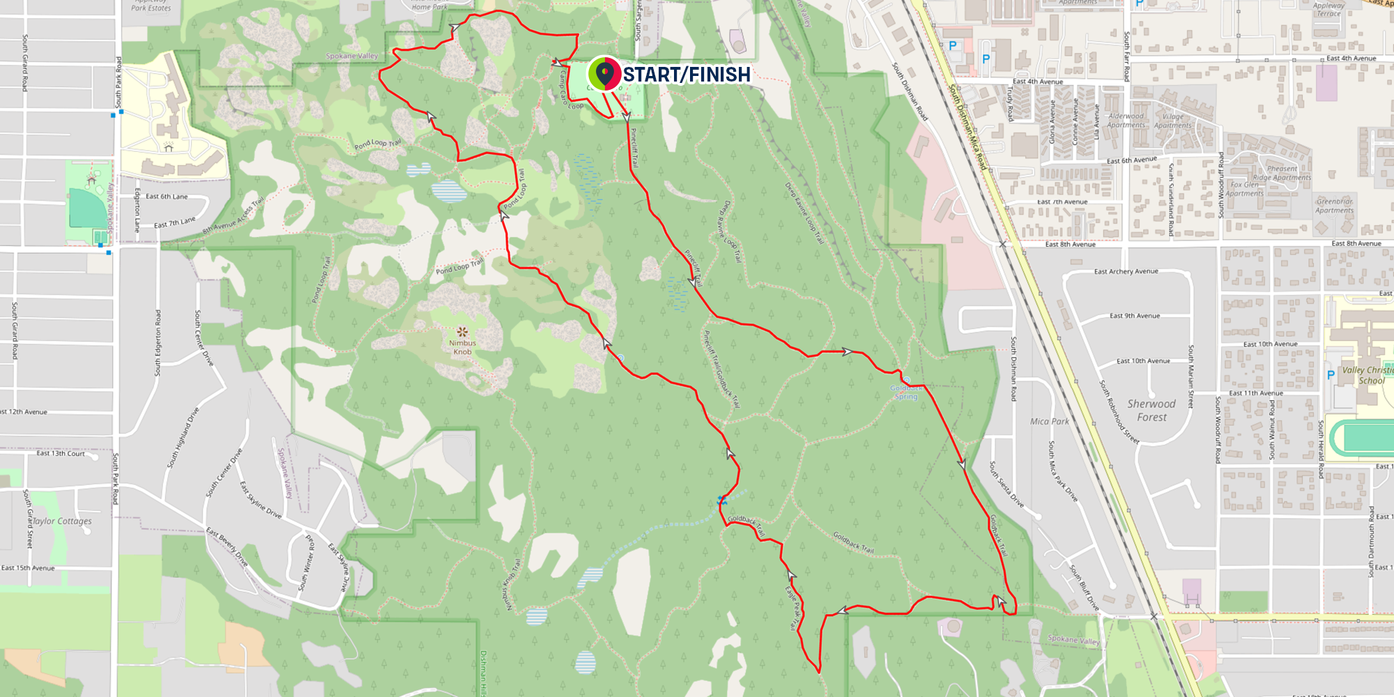
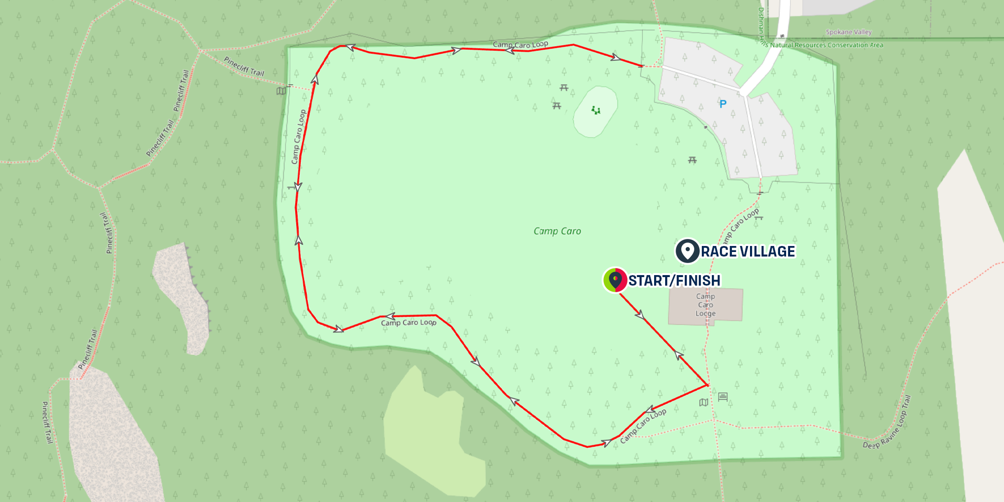
Kids Fun Run (0.5 Miles)
Kids will take off out of the start line for a relatively flat 2 out and back run. Parents are encouraged to run with their little ones depending on your child's ability level. The kids course will be well marked and staffed with volunteers.